Editing Naples
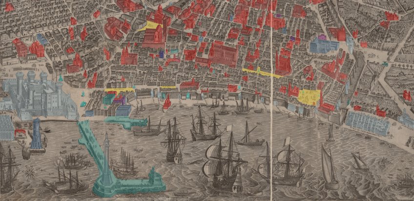
In the Editing Naples project, historical maps and views of Naples are digitized and digitally annotated with information from their respective legends. The topographical information in the printed legend can be called up directly by touching the object with the cursor.
Alternatively, the objects can be found on a digital legend, which appears on the left side of the page. The monuments are color coded according to their specific function – a feature that can be turned on or off accordingly. Likewise, the information provided in the legend can be visible or hidden as desired. The zoom function offers a closer look at the details of the maps, enabling a more in-depth view of a selected section. However, the fact that one can and must select the section to view themselves, prevents the loss of context that occurs when confronting specific details in print.
The aim of this project is to establish an understanding of the overall map view, both in terms of the maps’ compositions and their many details, which inform each other through reciprocal interaction. The digital processing of historical maps therefore offers new insights by providing multiple and varied perspectives on the historical printed product. In this sense, the maps can be maneuvered, viewed, and studied in ways that are not made possible when accessing the original printed form.


